

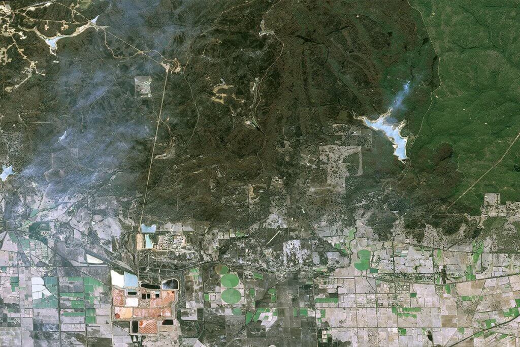

Remote Sensing Helping To Improve Wildfire Tracking
With global temperatures continually rising, and with local extremes of dry, hot weather, wildfires are a growing concern worldwide, with a devastating impact on the environment, communities, and economies.
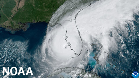
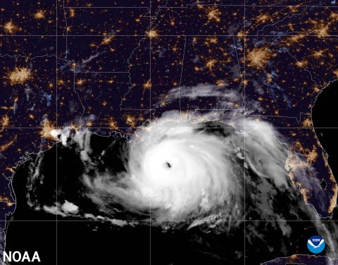
Near normal 2023 Atlantic hurricane season predicted by NOAA
National Oceanic and Atmospheric Administration (NOAA) has released their forecast for the 2023 Atlantic hurricane season and they are predicting the first near normal season in over seven years. This is driven by several factors that are expected to supress hurricane activity including the high potential for El Nino to develop this summer.
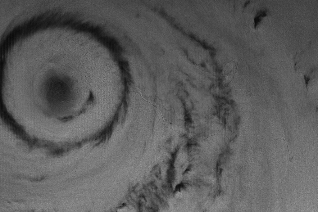
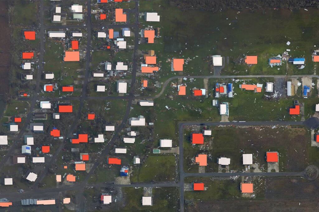
2022 Atlantic hurricane season NOAA predictions
National Oceanic and Atmospheric Administration (NOAA) has released their predictions for the 2022 Atlantic hurricane season and based on their forecasts the season looks set to be the seventh consecutive year of above-normal hurricane activity, driven by several climate factors including warmer than average surface temperatures.