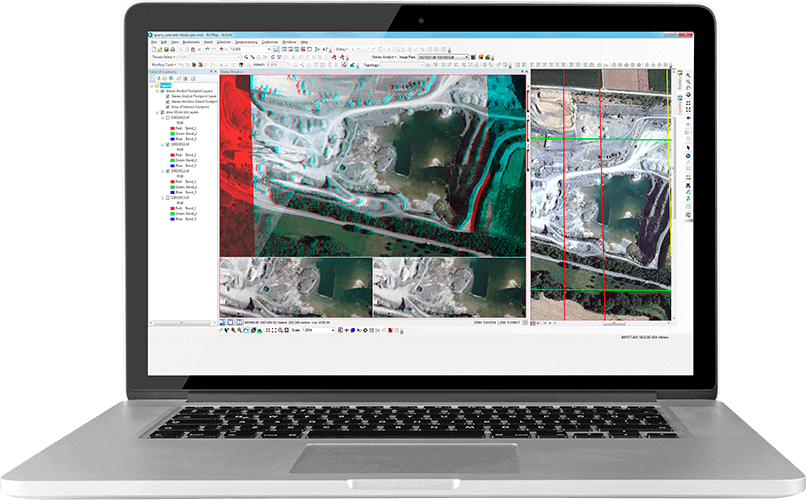
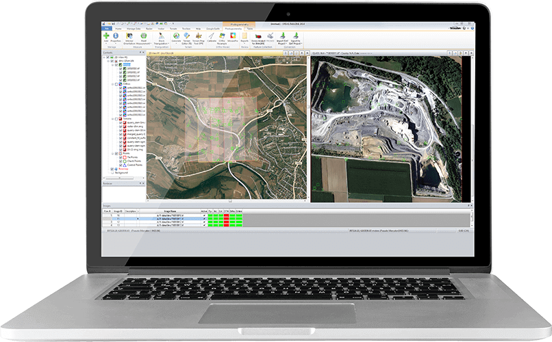
IMAGINE Photogrammetry is a seamlessly integrated collection of software tools that allows the transformation of raw imagery into reliable data layers for digital mapping, raster processing, geospatial analysis and 3D visualisation.
The clean, intuitive interface makes it easy to learn and easy to use. The workflow-driven toolbar guides the process, giving everything needed to execute a photogrammetric project from beginning to end.
IMAGINE Photogrammetry is for…
…transforming imagery into reliable geospatial content. It is the key to increased productivity as it utilises practically any satellite sensor along with a wide range of aerial formats supporting numerous workflows.
Benefits of Imagine Photogrammetry
Precise
Fast graphics rendering with on-the-fly resampling for subpixel cursor positioning and measurement allows working quickly and accurately.
Integrated
Its interoperability with ERDAS IMAGINE makes the ideal photogrammetric package for projects involving diverse types of airborne and satellite data.
Streamlined
Combines robust photogrammetry, GIS, image processing and point cloud tools in one powerful product.
Find out more
IMAGINE Photogrammetry is part of the Hexagon Power Portfolio, world leading technologies that combine the best in photogrammetry, remote sensing, GIS and cartography.
Discover the IMAGINE PHOTOGRAMMETRY Add On Modules or if you are interested in enhancing your workflows try ERDAS IMAGINE.