Imagine Photogrammetry Add On Modules
A Complete Suite of Photogrammetric Production Tools
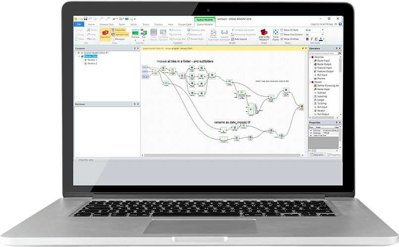
IMAGINE Photogrammetry is a seamlessly integrated collection of software tools that allows the transformation of raw imagery into reliable data layers for digital mapping, raster processing, geospatial analysis and 3D visualisation.
Expand the functionality of IMAGINE Photogrammetry with a suite of add on modules designed to add flexibility and productivity.
IMAGINE AUTO DTM
IMAGINE AUTO DTM uses sophisticated techniques with built-in accuracy reporting to quickly and accurately automatically extract terrain from multiple images. Output into a range of DTM formats, including ERDAS raster formats, LTF TINs, 3D shapefiles, TerraModel TINs, or ASCII files.
IMAGINE TERRAIN EDITOR
IMAGINE TERRAIN EDITOR provides the tools to quickly, easily and accurately edit DTMs. Terrain graphics are displayed as dynamic contours, TINs, break lines, and points superimposed on stereo imagery for easy individual terrain point editing or multiple selections.
ORIMA
ORIMA is easy-to-use, high-end triangulation software that processes large datasets of image coordinates, ground control points, and GPS/IMU coordinates. Allowing production-focused aerial triangulation for analog, digital frame, and Leica Geosystems ADS40 and ADS80 imagery.
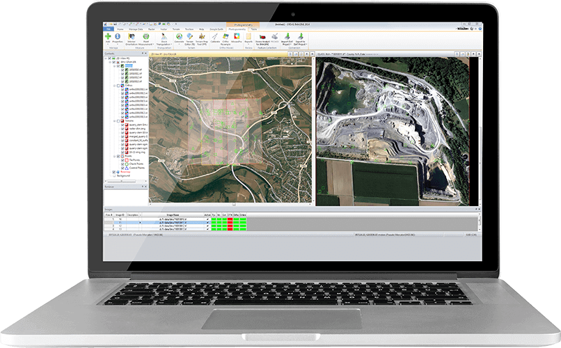
PRO600
PRO600 is used to create large-scale digital mapping from stereo imagery, incorporating customisable signs, symbols, colours and line thickness. Terrain oriented tools allow features to be combined with terrain data. Based on the stereo viewing technology from the IMAGINE PHOTOGRAMMETRY, PRO600 offers a seamless, accurate stereo environment.
Stereo Analyst® for ArcGIS®
Stereo Analyst® for ArcGIS® produces oriented imagery and terrain data for use in Stereo Analyst for ArcGIS®. The software can also update existing feature datasets with 2D to 3D feature conversion tools.